Did you know that accurate 3D Mapping can reduce infrastructure rework and planning errors significantly when used at the early design stage? In India’s fast-growing construction, mining, and smart city sectors, poor site data often leads to delays, cost overruns, and safety risks. Many project teams still rely on outdated survey methods that fail to capture detailed terrain information.
This is where modern 3D Mapping powered by LiDAR and drone technology changes the game. By generating highly accurate digital elevation models, point clouds, and terrain data, engineers and planners can make informed decisions before construction begins. I’ll share practical insights from real-world LiDAR projects across India, explain how 3D Mapping works, and highlight best practices to improve accuracy, efficiency, and compliance with Indian regulations.
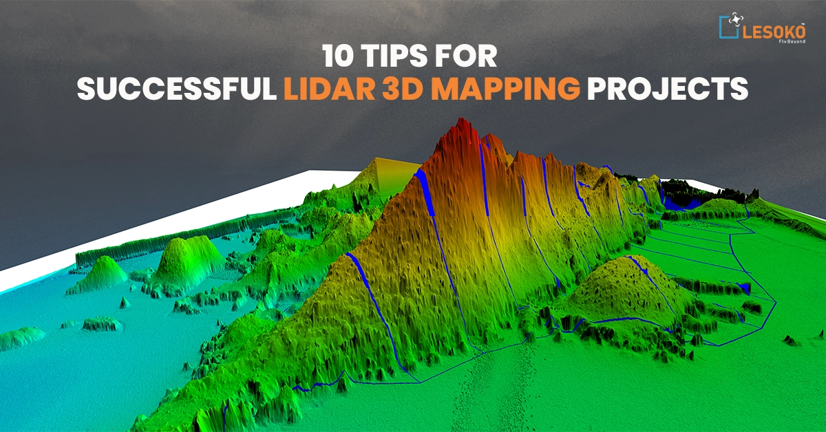
What is 3D Mapping and How Does It Work?
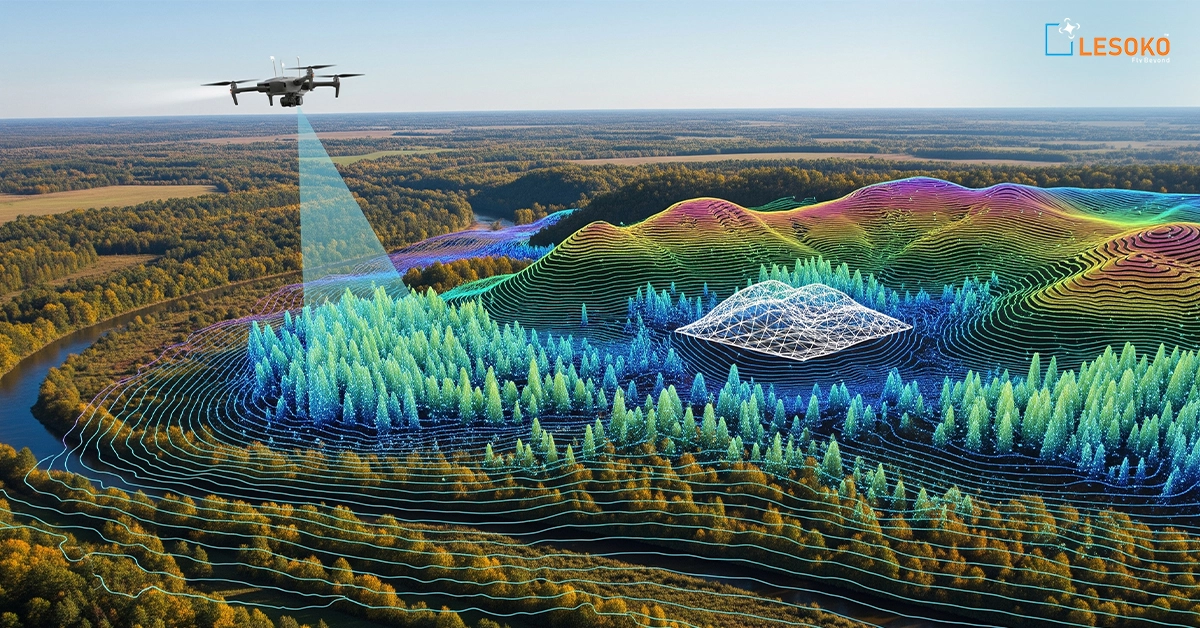
From my experience working on infrastructure and city projects in India, 3D Mapping means creating a three-dimensional digital model of real-world places like roads, buildings, rivers, and land. It helps engineers, planners, and government departments understand an area clearly before starting any project. 3D Mapping works by collecting data using drones, LiDAR sensors, GPS, and cameras. LiDAR sends laser pulses to the ground and measures the time they take to return. This creates millions of points called a point cloud, which forms a 3D model.
In India, organizations like Survey of India support accurate mapping standards. Many projects also follow guidelines from ISRO for geospatial data use. In one highway project I handled, proper ground control points improved accuracy and reduced errors in design. 3D Mapping is now widely used in road construction, smart cities, mining, and flood studies. However, good planning and trained professionals are necessary for reliable results.
How Does LiDAR Improve Accuracy in 3D Mapping Projects?
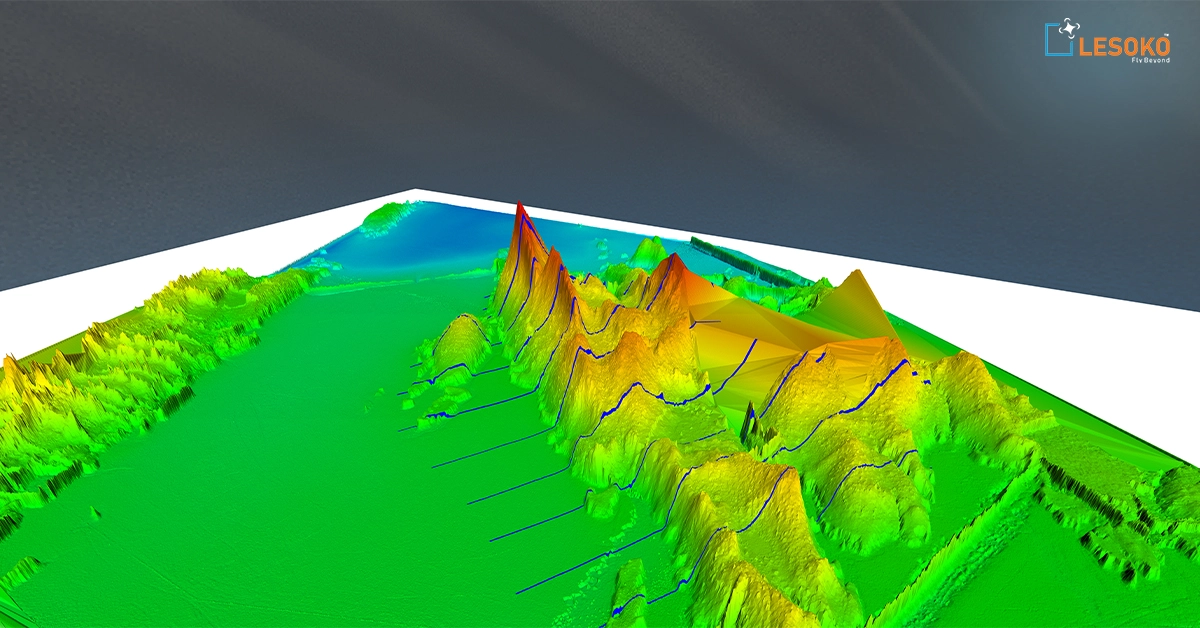
In many projects across Maharashtra and Gujarat, I have seen how LiDAR improves 3D Mapping accuracy. LiDAR (Light Detection and Ranging) uses laser pulses to measure distances very precisely.
Unlike normal photography, LiDAR can even capture the ground below trees. This makes it very useful for forest areas, mining sites, and railway corridors. It produces dense and accurate data in less time compared to traditional methods.
Companies like Leica Geosystems and Trimble Inc. manufacture advanced LiDAR systems used worldwide. In India, drone operations must follow rules set by the Directorate General of Civil Aviation. In one mining survey, LiDAR reduced field time and improved safety because fewer workers were needed on steep slopes. However, correct calibration and data processing are important to achieve high accuracy. Skilled operators make a big difference in the final 3D Mapping output.
What Are the Main Applications of 3D Mapping in India?
3D Mapping is growing fast in India due to infrastructure development and digital programs. I have worked on metro and road projects where 3D models helped engineers check designs before construction started.
Under initiatives like the Smart Cities Mission, 3D Mapping is used for traffic planning, drainage systems, and utility management. Mining companies use it to measure stockpile volumes and monitor land changes. Agriculture departments use terrain models to improve irrigation planning. Disaster management teams use 3D Mapping for flood and landslide studies. Support from organizations like National Remote Sensing Centre helps improve data accuracy.
From my experience, clearly defining the project goal—whether for contour maps, Digital elevation models, or construction planning—leads to better outcomes. 3D Mapping saves time and reduces costly mistakes when used properly.
What Equipment Is Required for Professional 3D Mapping?
Professional 3D Mapping requires proper tools and planning. A drone alone is not enough. We need UAVs, LiDAR sensors or high-resolution cameras, GPS receivers, and ground control points. In my field projects, RTK-enabled drones gave better positional accuracy. LiDAR systems from companies like RIEGL are known for high-quality data collection.
Ground control points are very important. Even with advanced systems, I always recommend physical checkpoints to verify accuracy. Data processing also needs strong computers and GIS software such as ArcGIS. Investing in good equipment may seem costly, but it ensures reliable results. In 3D Mapping, data quality directly depends on the tools and the skills of the survey team.
How Accurate Is LiDAR-Based Mapping Compared to Traditional Surveying?
Based on my practical experience, LiDAR-based 3D Mapping is faster and highly accurate for large areas. Traditional total station surveys give very high precision at selected points, but they take more time.
LiDAR captures millions of data points across wide areas quickly. According to standards from the American Society for Photogrammetry and Remote Sensing, LiDAR accuracy depends on equipment and processing methods. In a 40 km road project, LiDAR reduced survey time by more than half compared to traditional methods. However, ground verification is still necessary. The best approach is combining LiDAR with selected ground surveys. This ensures both efficiency and accuracy in 3D Mapping projects across different terrains in India.
What Software Is Best for Processing 3D Mapping Data?
Processing is one of the most important stages in 3D Mapping. Even if field data collection is done correctly, poor processing can reduce accuracy and affect final results. Based on my practical experience in infrastructure and drone survey projects in India, choosing the right software makes a major difference.
Software for Drone Image Processing
Pix4D – Commonly used for photogrammetry
Converts drone images into 3D models and point clouds
Generates orthomosaics and digital elevation models (DEM)
I have used Pix4D in multiple road survey projects where accurate terrain models were required for planning.
Software for Terrain & GIS Analysis
Global Mapper – Useful for terrain analysis
Creates contour maps and elevation models
Supports multiple geospatial data formats
This tool is helpful for preparing final mapping deliverables.
Software for LiDAR Data Processing
LAStools – Effective for LiDAR filtering and classification
Cleans raw point cloud data
Separates ground and non-ground points
Key Processing Steps
Cleaning point clouds
Classifying LiDAR data
Generating DEM and DSM
Creating contour maps
Important Considerations
Choose software based on project scope and budget
Ensure proper training for operators
Always verify coordinate systems and projections
In my experience, structured processing workflows ensure accurate and reliable Mapping results.
What Are the Biggest Challenges in Large-Scale 3D Mapping Projects?
Large-scale 3D Mapping projects face many challenges in India. Weather conditions like heavy rain and strong winds affect drone flights. Data storage is another issue. LiDAR surveys create very large files that require proper backup systems. Without good management, data loss can occur. Permission from authorities, especially under DGCA drone rules, is also important. Early planning avoids delays. From my experience, good teamwork, risk planning, and step-by-step quality checks help overcome these challenges in Mapping projects.
How Much Does a 3D Mapping Project Cost in India?
The cost of 3D Mapping in India depends on area size, terrain type, and required accuracy. Small drone surveys cost less, while large LiDAR-based projects cost more. However, accurate Mapping reduces construction errors and saves money in the long term. In many projects I handled, early mapping prevented expensive redesign work.
Clients should always ask for detailed proposals with accuracy standards and deliverables clearly mentioned. Transparency builds trust and ensures better project results.
How Is Drone Technology Transforming 3D Mapping Workflows?
Drone technology has changed 3D Mapping completely. Drones can quickly survey difficult or dangerous areas such as mines, highways, and flood zones. RTK-enabled drones improve positioning accuracy and reduce field time. Following rules from the Directorate General of Civil Aviation ensures safe operations in India. In one mining project, drone-based LiDAR completed data collection in a single day instead of several days. This improved safety and efficiency.
With better batteries and lighter sensors, drone-based Mapping will continue to grow in India. It is becoming an essential tool for modern infrastructure development.
Successful Mapping projects are not just about advanced LiDAR sensors or powerful software—they are about planning, precision, and practical field experience. From my work on infrastructure and mining projects in India, I’ve learned that proper ground control, regulatory compliance, and structured data processing make the biggest difference in final accuracy. When executed correctly, Mapping saves time, improves safety, and prevents costly design mistakes. But every project site is different, and real learning comes from field challenges and hands-on problem solving.
I’d love to hear about your experience with 3D Mapping or LiDAR surveys. Have you faced challenges with drone permissions, accuracy validation, or data processing? Share your insights or questions in the comments below—your experience could help others in the geospatial community.
Frequently Asked Questions (FAQ) About 3D Mapping
1. What is 3D Mapping in simple terms?
3D Mapping is the process of creating a three-dimensional digital model of real-world locations using technologies like LiDAR, drones, GPS, and photogrammetry. It captures terrain, buildings, and other physical features with high accuracy. In India, 3D Mapping is widely used in infrastructure development, mining surveys, and smart city planning. The output often includes point clouds, digital elevation models (DEM), and contour maps that support engineering and construction decisions.
2. How does LiDAR support 3D Mapping projects?
LiDAR improves 3D Mapping by using laser pulses to measure distances between the sensor and the ground. It produces dense and highly accurate spatial data, even under vegetation. This makes it ideal for forest surveys, highway corridors, and mining areas. Compared to traditional surveying, LiDAR-based Mapping covers large areas quickly while maintaining strong vertical accuracy when properly calibrated and validated with ground control points.
3. Is 3D Mapping allowed in India using drones?
Yes, 3D Mapping using drones is allowed in India, but operators must follow regulations from the Directorate General of Civil Aviation (DGCA). Drone pilots must use approved UAVs and follow airspace rules. Permissions may be required depending on the project location. Compliance ensures safe and legal Mapping operations, especially for infrastructure and government-related projects.
4. What industries benefit most from 3D Mapping?
Several industries benefit from Mapping in India, including construction, mining, agriculture, urban planning, and disaster management. Infrastructure companies use LiDAR surveys for road and railway alignment. Mining companies rely on 3D Mapping for volumetric analysis and slope monitoring. Smart city planners use it for traffic and drainage system design. Accurate geospatial data improves decision-making across these sectors.
5. How accurate is drone-based 3D Mapping?
Drone-based 3D Mapping can achieve centimeter-level accuracy when using RTK-enabled systems and properly placed ground control points. Accuracy depends on equipment quality, flight planning, and data processing workflows. Independent checkpoints should always be used to verify results. Combining LiDAR data with limited ground surveys provides reliable and efficient outcomes for most large-scale projects.
6. What software is commonly used in 3D Mapping?
Popular 3D Mapping software includes tools for photogrammetry, LiDAR processing, and GIS analysis. These platforms help convert raw point cloud data into digital terrain models, contour maps, and 3D visualizations. The right software depends on project size, data type, and required deliverables. Proper training is essential to avoid coordinate system errors and data misalignment.
7. How much does a 3D Mapping project cost?
The cost of 3D Mapping in India depends on factors such as project area, terrain complexity, required accuracy, and technology used. LiDAR-based surveys generally cost more than basic photogrammetry due to sensor and processing expenses. However, accurate Mapping reduces long-term costs by preventing design errors, rework, and project delays. Always request a detailed scope and accuracy specification before starting.
8. What are common challenges in 3D Mapping projects?
Common challenges in 3D Mapping include weather conditions, regulatory approvals, data storage issues, and accuracy validation. Heavy rainfall or strong winds can delay drone flights. Large LiDAR datasets require structured storage and backup systems. Proper project planning, risk management, and step-by-step quality checks help ensure smooth and successful execution.